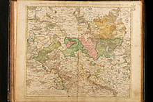
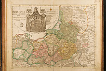
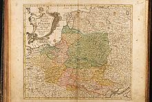
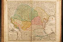
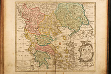
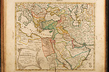
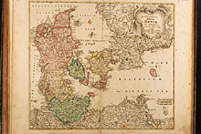
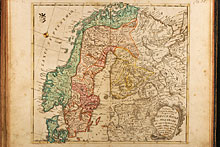
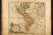
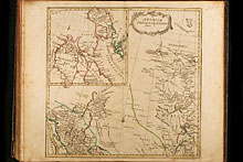
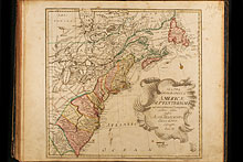
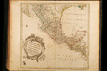
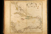
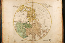
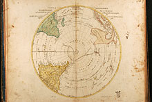
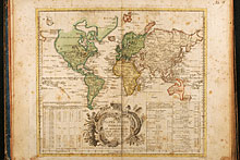
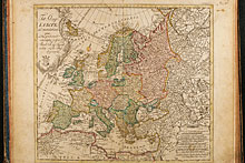
Rare school atlas by the famous mathematican Leonhard Euler. It was the most successful project of the Royal Academy of Sciences in Berlin. First edition was published in 1753, titled Atlas geographicus omnes orbis terrarum regiones in XLI tabulis with a preamble of L. Euler. This second edition was published 1760, followed by third unchanged edition in 1777 until 1784.
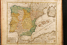
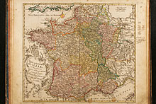
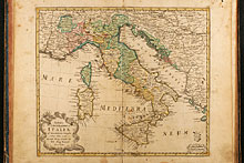
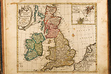
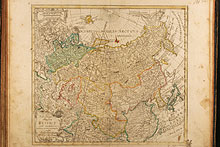
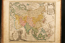
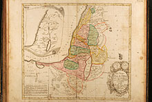
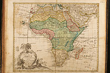
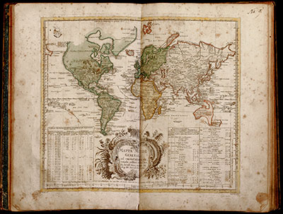
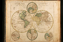
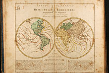
This Atlas includes 4 maps of the world (one in two sheets), 4 maps of the continents (Africa, Asia, America and Europe), 1 map of America in 4 sheets, 1 map of Europe in 4 sheets, 4 map of Great Britain, one map of Russia, one map of Palestine and 21 map mainly European countries including Scandinavia, Denmark, Greece, Italy, Spain, France, Turkey, Germany, the Lower Countries, Poland and others. Map 44 (Mare Pacificum) is missing.

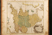
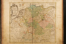
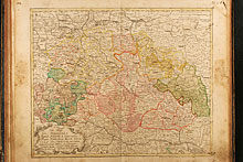
![Tabula Geographica Europae ad emendatiora Exempla adhuc edita jussu Acad. Reg. scient. et litt. eleg. Boruss. descripta. [1]](/images/atlases/thumbs/220px/1760_euler_009.jpg)
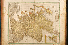
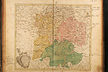
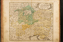
![Tabula Geographica Europae ad emendatiora Exempla adhuc edita jussu Acad. Reg. scient. et litt. eleg. Boruss. descripta. [2]](/images/atlases/thumbs/220px/1760_euler_010.jpg)
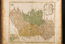
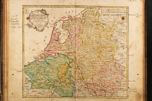
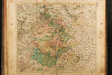
![Tabula Geographica Europae ad emendatiora Exempla adhuc edita jussu Acad. Reg. scient. et litt. eleg. Boruss. descripta. [3]](/images/atlases/thumbs/220px/1760_euler_011.jpg)
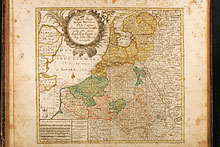
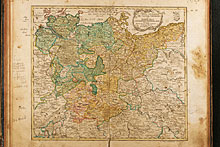
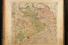
![Tabula Geographica Europae ad emendatiora Exempla adhuc edita jussu Acad. Reg. scient. et litt. eleg. Boruss. descripta. [4]](/images/atlases/thumbs/220px/1760_euler_012.jpg)
