1664: Blaeu's Atlas of Italy and Greece

Sevende Stuck der Aerdrycks-Beschryving, Welck Vervat Italien en Griecken.

Click on the image to see all maps in high resolution.

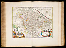
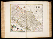
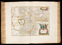
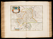
Joan Blaeu's Atlas Maior is one of the most elaborate works in the history of cartography. When completed in 1665, it was the largest and most expensive book published in the 17th century. The size and ambition of this work were beyond any scope with 594 maps in eleven volumes. It is considered so important that it was included in the Canon of Dutch History.

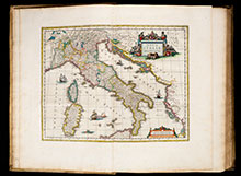
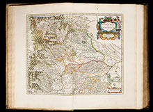
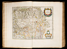
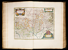
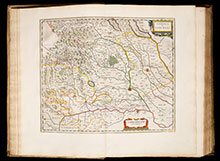
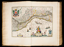
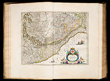
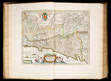
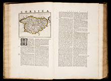
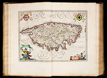
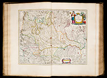
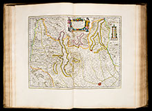
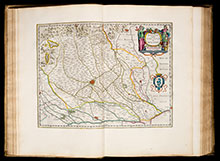
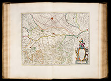
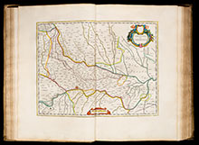
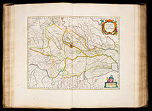
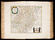
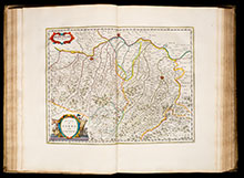
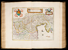
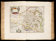
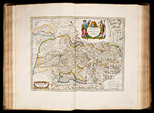
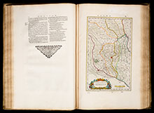
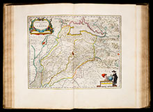
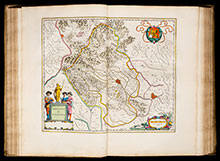
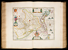
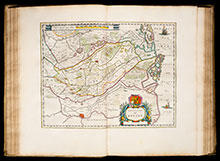
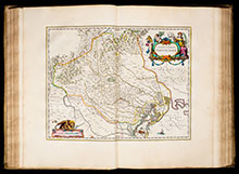
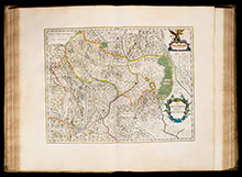
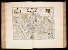
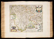
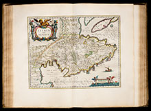
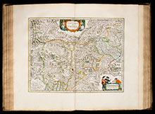
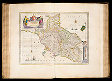
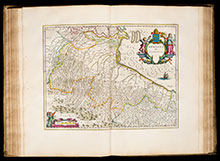
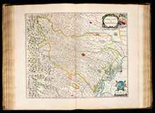
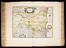
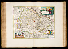
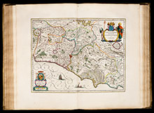
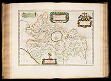
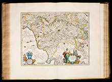
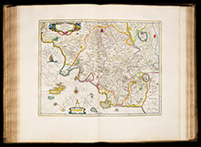
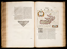
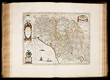
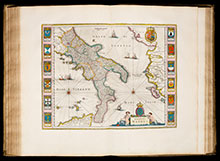
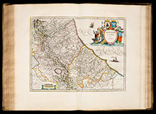
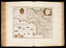
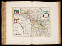
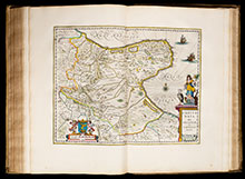
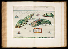
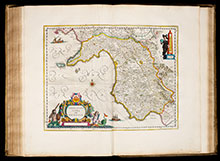
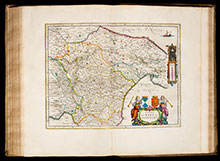
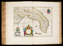
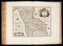
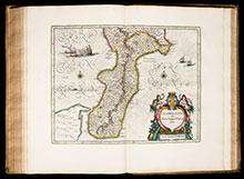
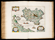
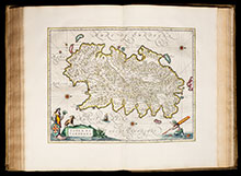
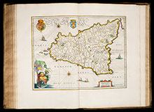
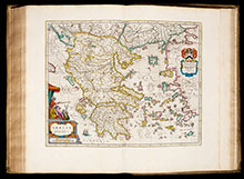
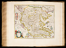
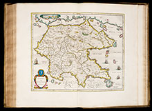
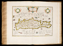
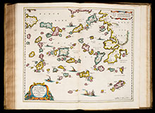
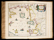
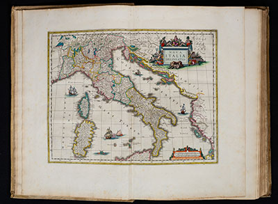
This is the seventh volume of the Dutch edition of Atlas Maior, covering Italy and Greece with 67 maps.

Koeman mentioned about the Atlas Maior: The contents of this unprecedented atlas illustrate the high standards of contemporary cartography and geographical knowledge, and its presentation bears witness to the superb craftsmanship of engraver, printer, binder and papermaker... The costly atlas was in fact exclusively designed for those members of the patriciate who could command both the material and intellectual resources that were needed to buy it and appreciate it.

This atlas is for sale. Please visit: Blaeu's 1664 Atlas of Italy and Greece

  • Title Sevende Stuck der Aerdrycks-Beschryving, Welck Vervat Italien en Griecken.
  • Author Blaeu, Joan
  • Year 1664
  • Publisher Joan Blaeu, Amsterdam
  • Size Imperial Folio, 57.0 x 38.5 mm
  • Colour Coloured by a contemporary hand
  • Illustrations 1 engraved title page, 65 double-page engraved maps, 1 full-page engraved map and 1 map within text.
  • Cover 17th century Dutch vellum, brightly gilt and large central arabesques, remnants of original green ties
  • References Van der Krogt, P.: Koeman's Atlantes Neerlandici, 2:621.7

List of all Maps

  • Nova Italiae Delineatio
  • Piemonte Et Monferrato
  • Stato Del Piemonte
  • Montisferrati Ducatus
  • Signoria di Vercelli
  • Liguria, o Stato della Republica di Genova
  • Riviera di Genova di Levante
  • Riviera di Genova da Ponente
  • Corsica
  • Corsica Insula
  • Stato Di Milano
  • Parte Alpestre dello Stato di Milano, con il Lago Maggiore di Lugano, e di Como
  • Ducato, overo Territorio di Milano
  • Territorio di Pavia, Lodi, Novarra, Tortona, Alessandria et Altri Vicini dello Stato di Milano
  • Territorio Di Cremona
  • Ducato Di Mantova
  • Ducato di Modena, Regio et Carpi, col Dominio della Carfagnana
  • Ducato di Parma et di Piacenza
  • Dominio Veneto nell'Italia
  • Territorio Di Bergamo
  • Territorio di Brescia et di Crema
  • Territorio Cremasco
  • Territorio Di Verona
  • Territorio Di Vicenza
  • Territorio Padovano
  • Polesino Di Rovigo
  • Territorio Trevigiano
  • Il Bellunese con il Feltrino
  • Il Cadorino
  • Patria del Friuli olim Forum Iulii
  • Istria olim Iapidia
  • Territorio Di Trento
  • Stato della Chiesa con la Toscana
  • Romagna olim Flaminia
  • Territorio Di Bologna
  • Ducato Di Ferrara
  • Ducato Di Urbino
  • Marca d'Ancona olim Picenum
  • Territorio Perugino
  • Territorio Di Orvieto
  • Umbria overo Ducato di Spoleto
  • Campagna di Roma, olim Latium: Patrimonio di S. Pietro; et Sabina
  • Ducatus Braccianus, olim Sabatiae Regio
  • Dominio Fiorentino
  • Territorio di Siena et Ducato di Castro
  • Elba Isola olim Ilva
  • Stato della Republica di Lucca
  • Regno Di Napoli
  • Abruzzo Citra et Ultra
  • Terra di Lavoro, olim Campania Felix
  • Contado di Molise et Principato Ultra
  • Capitanata olim Mesapiae et Iapygiae Pars
  • Insulae Tremitanae olim Diomedae Dictae
  • Principato Citra olim Picentia
  • Terra di Bari et Basilicata
  • Terra di Otranto olim Salentina et Iapigia
  • Calabria Citra olim Magna Graecia
  • Calabria Ultra olim Altera Magna Graeciae Pars
  • Ischia Isola, olim Aenaria
  • Isola Di Sardegna
  • Sicilia Regnum
  • Graecia
  • Macedonia, Epirus et Achaia
  • Morea olim Peloponnesus
  • Candia olim Creta
  • Cyclades Insulae in Mare Aegeo Hodie Archipelago
  • Maris Aegaei Quod hodie Archipelago Nuncupatur, Pars Septentrionalis
Go to top