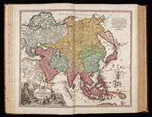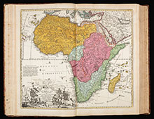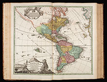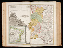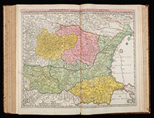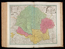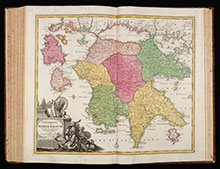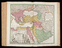
Monumental atlas of the world with 100 maps by Johann Baptist Homann. All maps coloured by an 18th-century hand.
Germany's most famous 18th-century world atlas by J. B. Homann, the founder of the famous Nuremberg map publishing house. Homann's Grosser Atlas was first published in 1716. When Homann died in 1724, the business was continued by his son Johann Christoph. After the death of Johann Christoph in 1730, Homann's publishing firm was bequeathed to his heirs and was traded under the name Homann Heirs until the next century.
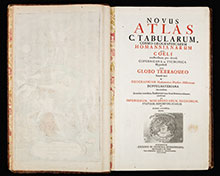
This is the first reissue of this famous atlas, now with 100 maps. The title was Latinize to Novus Atlas and published by Homann Hires in 1731. 96 maps still bear the name of Johann Baptist, three the name of his son Johann Christoph and one map is already labled with Homann Heirs.
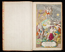
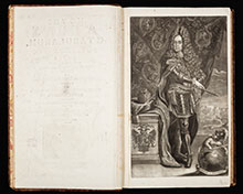
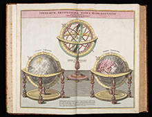
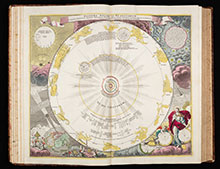
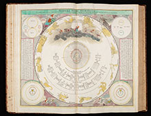
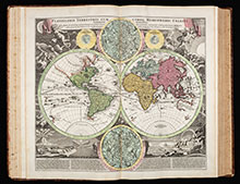
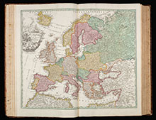
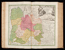
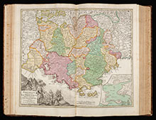
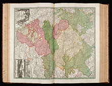
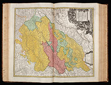
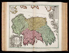
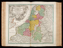
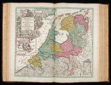
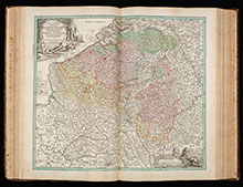
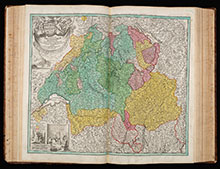
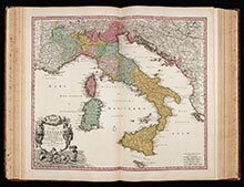
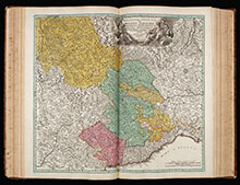
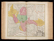
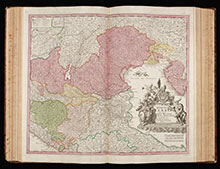
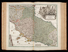
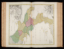
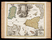
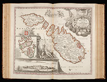
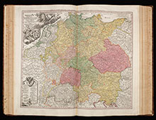
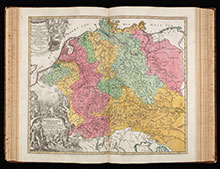
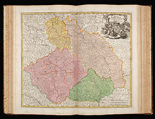
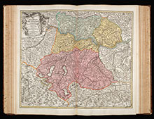
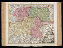
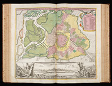
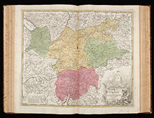
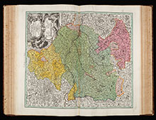
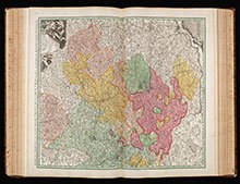
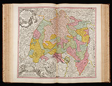
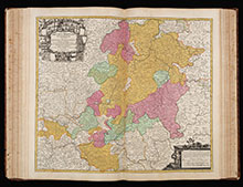
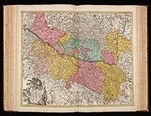
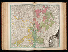
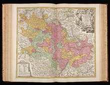
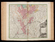
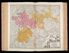
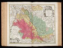
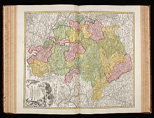
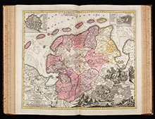
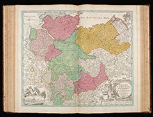
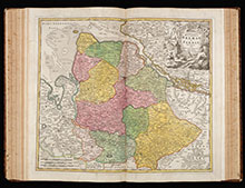
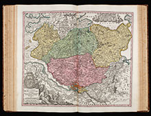
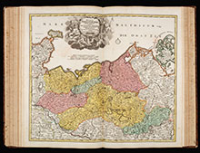
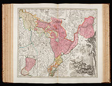
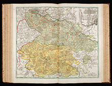
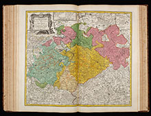
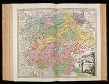
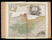
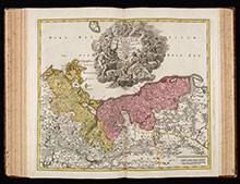
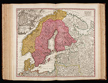
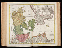
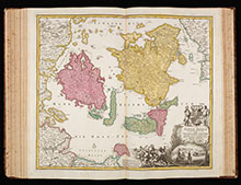
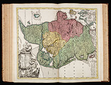
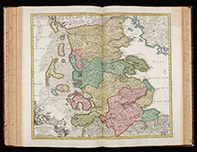
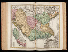
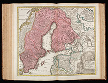
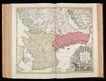
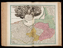
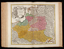
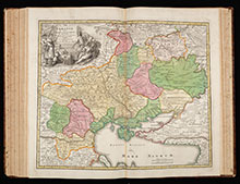
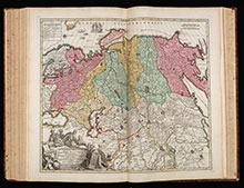
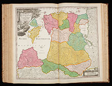
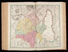
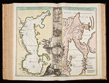
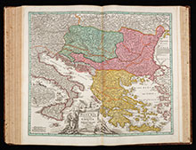
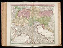
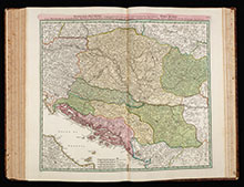
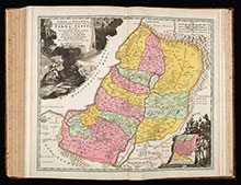
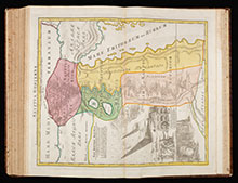
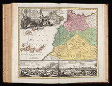
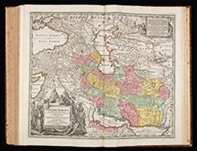
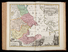
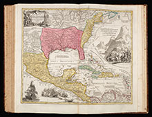
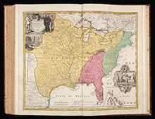
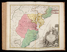
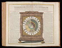
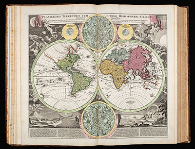
The atlas consists of an engraved frontispiece with a globe and allegorical figures of the Greek mythology engraved by Caspar Luycken, a letterpress title page printed in red and black with an engraved map of the northern hemisphere in polar projection, a mezzotint portrait of the Holy Roman Emperor Charles VI, 2 sheets of dedication to Charles VI, one sheet index listing all 100 maps plus the titles, 40 pages of introduction and description, and 100 double page engraved maps with decorative cartouches, several with inset maps and views.